Canberra is a planned city. Mostly because nothing was there before they decided to put the capital of the country there, when Melbourne and Sydney were fighting to be the capital.
To steal from Wikipedia...
"Canberra is a planned city and the inner-city area was originally designed by Walter Burley Griffin, a major 20th-century American architect (interesting that an American designed the capital of Australia? I think not) Within the central area of the city near Lake Burley Griffin, major roads follow a wheel-and-spoke pattern rather than a grid. Griffin's proposal had an abundance of geometric patterns, including concentric hexagonal and octagonal streets emanating from several radii." (Traveler beware: this circular pattern can get you a bit disorinted)

"Lake Burley Griffin was deliberately designed so that the orientation of the components was related to various topographical landmarks in Canberra. The lakes stretch from east to west and divided the city in two; a land axis perpendicular to the central basin stretches from Capital Hill—the eventual location of the new Parliament House on a mound on the southern side"


The straight edge of the circular segment that formed the central basin of Lake Burley Griffin was perpendicular to the land axis and designated the water axis, and it extended northwest towards Black Mountain. "

Black mountain and its Telestra Tower
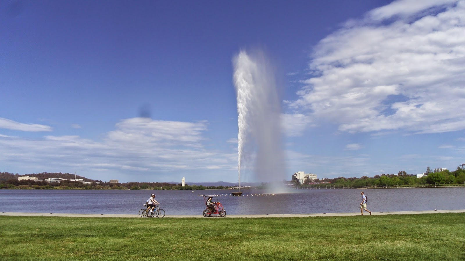
Lake Burley Griffin provides a beautiful riverfront walking and cycling route around the two bridges.


You can walk up Mt Ainslie for a beautiful view of the land axis to the parliament house, and you may even get to watch a hot air balloon drift by.


Also good for some bird watching

Plus, the city has some pretty good names for streets.


No comments:
Post a Comment